Physical Address
304 North Cardinal St.
Dorchester Center, MA 02124
Physical Address
304 North Cardinal St.
Dorchester Center, MA 02124
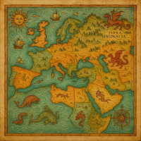
When looking at those older maps, does it ever seem like they belong more in a story or a history book? Old maps were never mere navigational aids; they were the world view of the people who created them. Or, rather, the world view they had at the time, based much on hearsay, myth, or in some cases, their own limited first-hand experience. So there could be gigantic sea monsters in the oceans, or whole land masses that didn’t exist at all! Of course, they did not just make this stuff up as artistic embellishments. The mapmakers were showing their own fascination and wonder, and sometimes, fear as well.
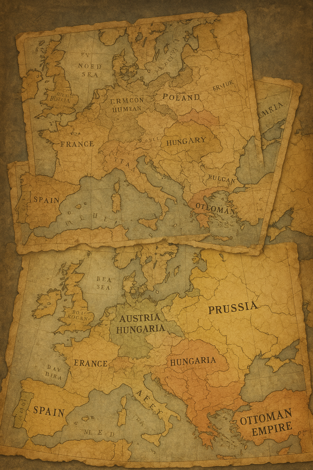
For example, before the First World War, looking at Europe, you would see several countries and names you might have never heard of today, Prussia, the Austro-Hungarian Empire, all of which are no longer part of the world anymore, or the Ottoman Empire, not even a political entity. And even more recently, borders had already changed. look at Germany, it was zones, or consider the borders in Africa created during the time of colonialism by any number of powers who made arbitrary borders without respecting the cultures and languages that were already there.
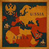
It is easy to consider maps as neutral, factual artifacts, but maps have often been utilized as tools of power and persuasion. Because maps are not just a reflection of the land, they present a story of authority itself. Colonial maps were produced by European powers to document their ownership of native lands in Africa, Asia, and the Americas; meanwhile, many of those maps forsook the realities of the land in favour of colonial prerogatives. As such, the maps saw boundaries appear that disregarded the reality of the Indigenous peoples, disregarded natural borders, and disregarded cultural regions; they simply drew straight lines, benefiting a coloniser’s purpose. Maps are political, as are the names of, or size of, or situation of a country, and so too is the tone.
Now that we’ve explored some of the historical moments communicated through maps, I hope you’re as amazed and interested as I am at how much maps tell about the past and about us. Whether that’s from changing borders, fantastical sea monsters, or whatever else has come before or is being considered for the future, maps don’t simply map land; they map human thought, power, and imagination.
About the Author:
I’m Ali Mujtuba Zaidi, a passionate history enthusiast who enjoys exploring how the past connects to our present. Through this blog, I share my thoughts and research on ancient civilizations, lost empires, and the lessons history teaches us today.